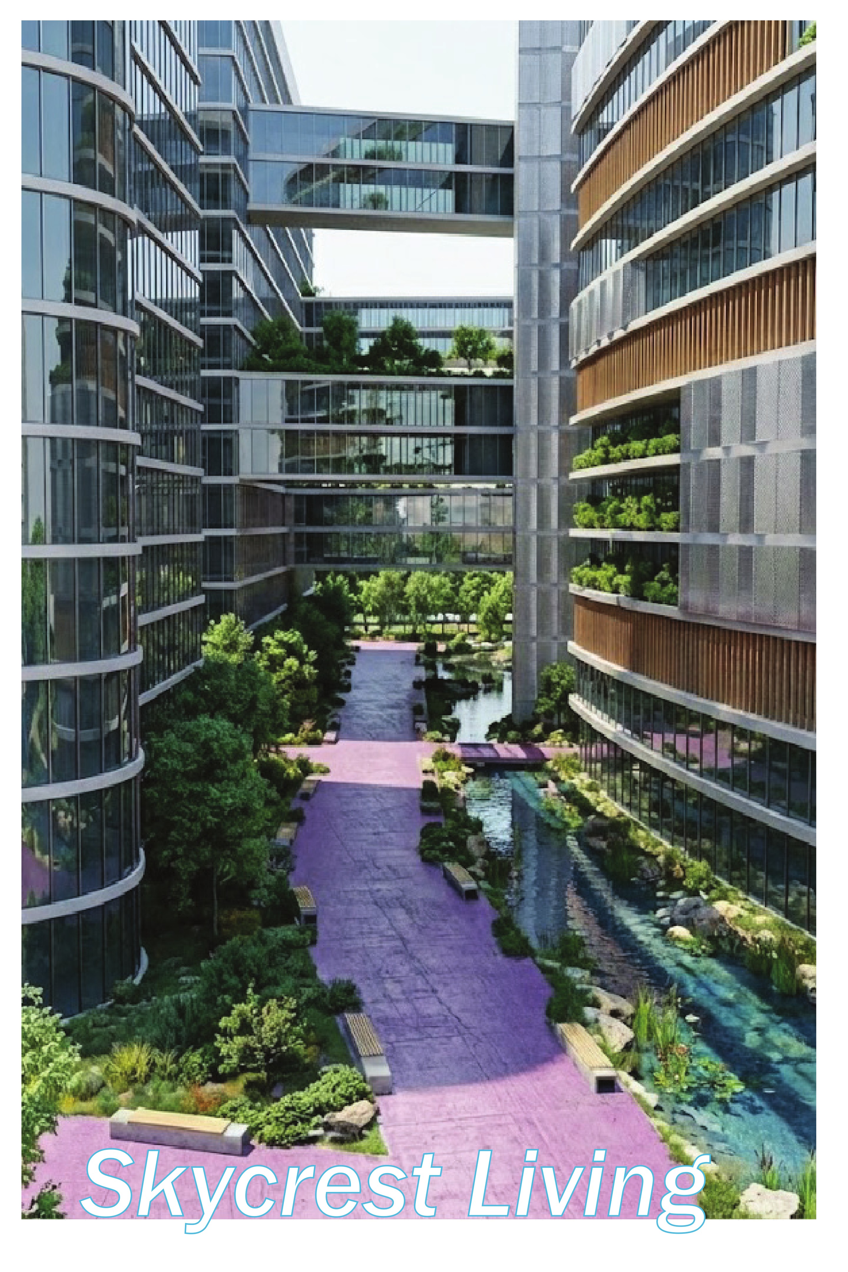
The Living Infrastructure
An Expansion of the BeltLine Eastside Trail
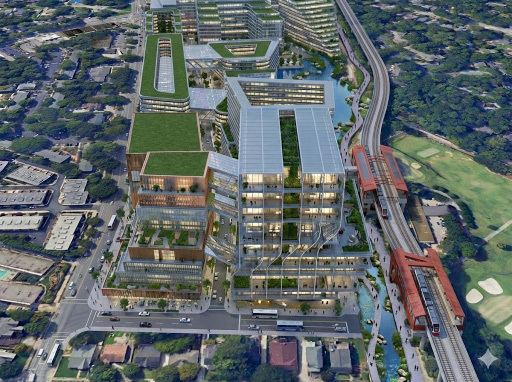 View full drawing ↗
Disconnected trail, park, creek, transit, and development parcels become one terraced district where ecological infrastructure is also public space.
- Type
- Mixed-use urban district
- Location
- Atlanta BeltLine
- Focus
- Ecology + public realm
- Role
- Academic studio project
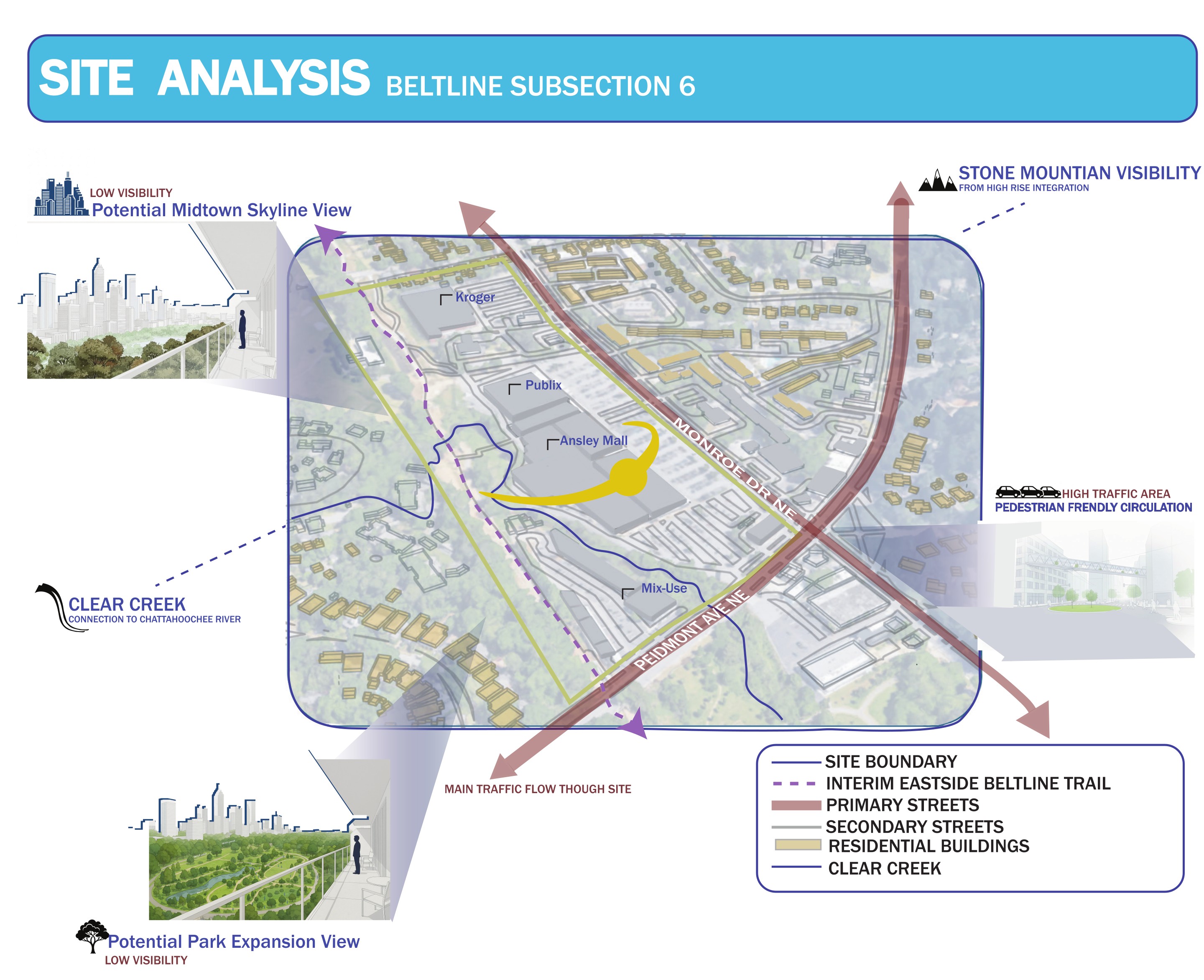
01Condition
Close systems do not yet make a connected district.
Piedmont Park, Clear Creek, the BeltLine, neighborhoods, roads, and future transit occupy the same territory but remain spatially fragmented.
02Framework
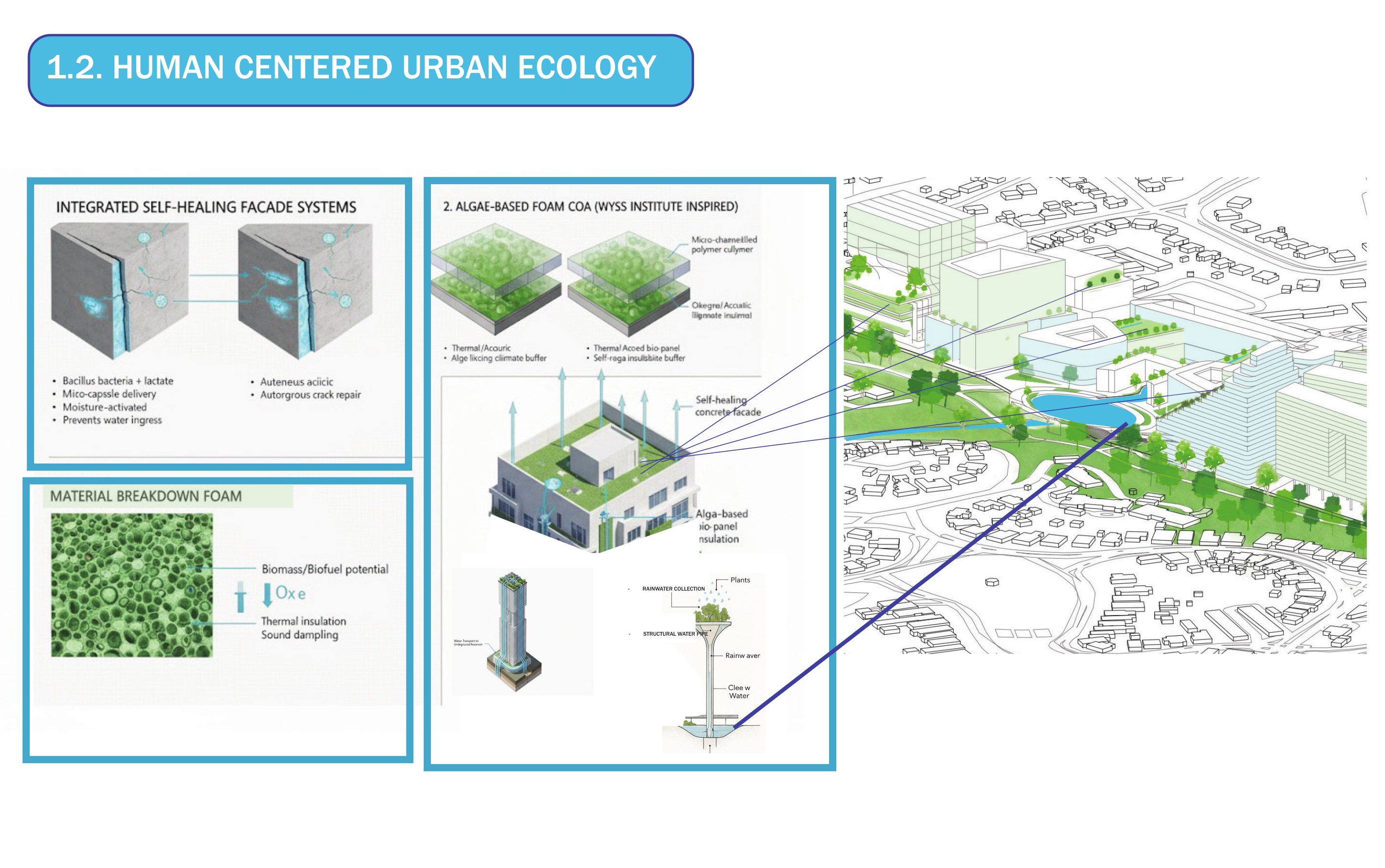
Ecology and access establish the urban order.
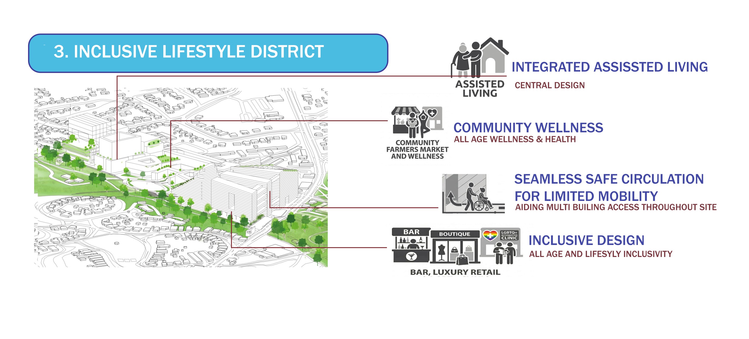
A continuous public landscape links trail, water, park, and transit. Terraced mixed-use buildings shape that landscape instead of occupying isolated parcels.
03Program + section
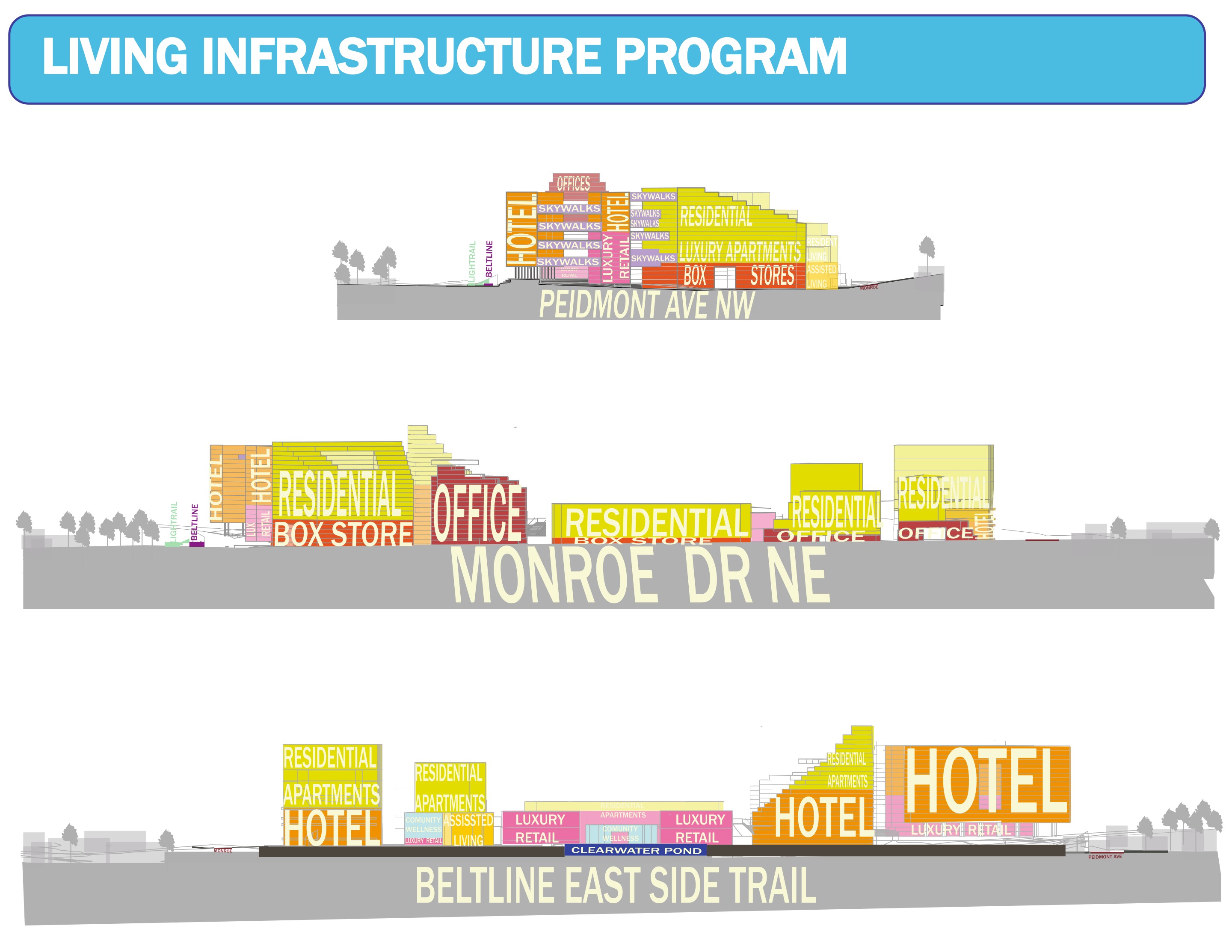
Mixed-use density follows grade, movement, and public space.
Housing, hotel, office, retail, wellness, and transit are organized sectionally to reinforce the connected public framework.
04District resolution
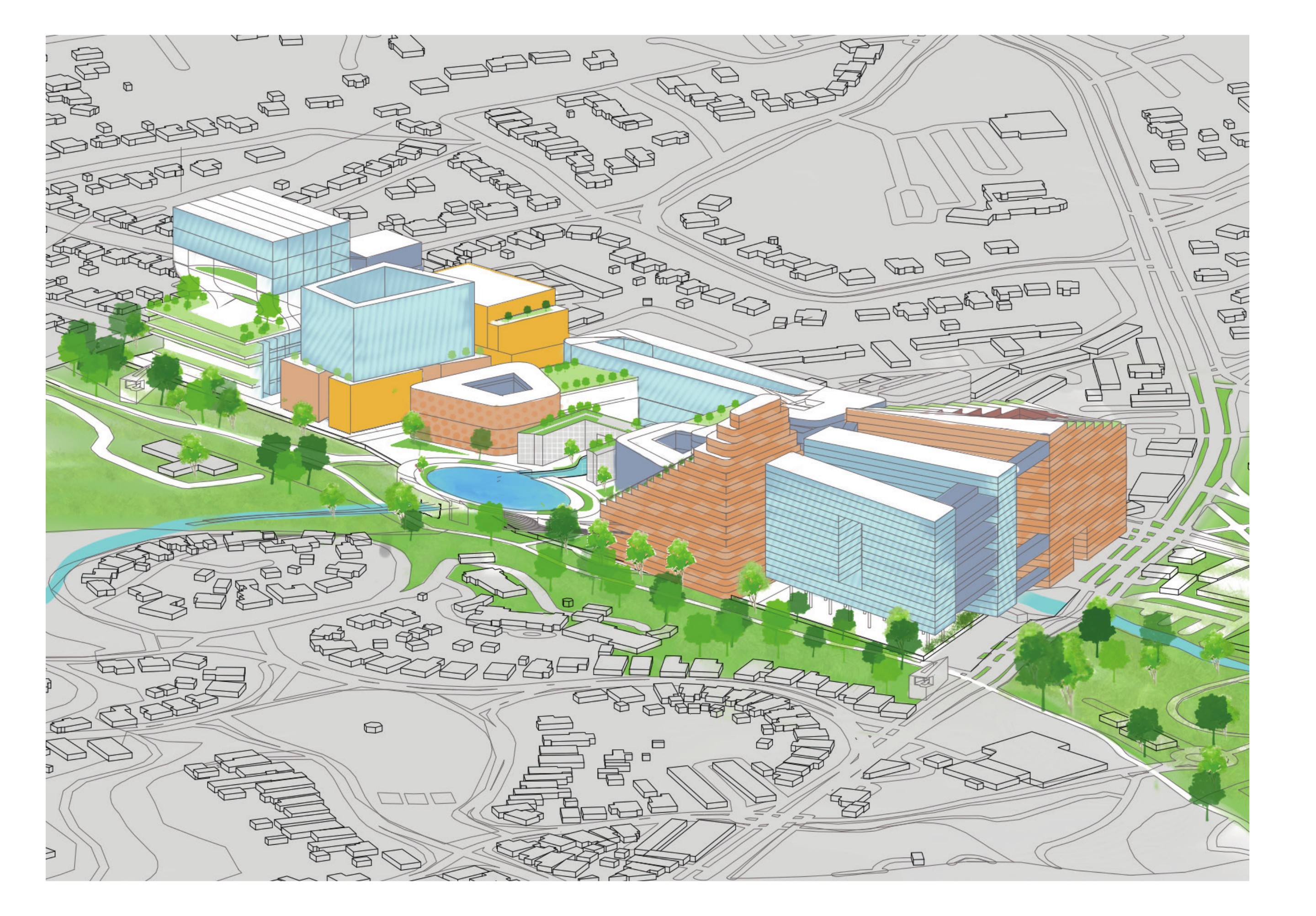
The urban axon makes the whole system legible.
The axon coordinates program blocks, landscape, water, streets, trail, and transit in one architectural drawing.
05System in place
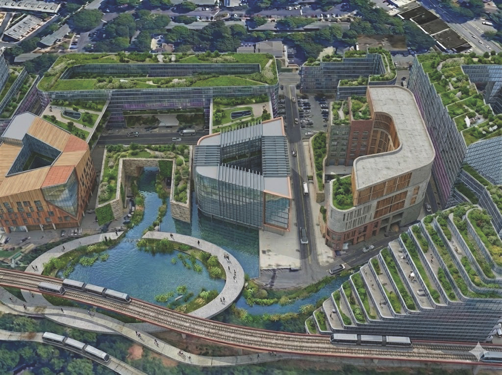
Terraces, water, and transit operate as one district.
The aerial views test whether the systems framework produces a coherent urban place rather than a diagram alone.
06Human scale
The district succeeds between buildings.
The courtyard view closes the story at the scale of planting, shade, water, people, and daily movement.